Stevens Advances Coastal Resilience With New Storm Monitoring System
When hurricanes, nor'easters and other coastal hazards strike, the effects on environments and communities can be devastating.
At the Schaefer School of Engineering and Science, researchers are continuing their mission to improve coastal monitoring, disaster preparedness and recovery with the acquisition of the newly launched Stevens Extreme Event Coastal Preparedness and Response System (SEECPRS). The innovative aerial and marine observing system captures critical data before, during and after storms to improve impact forecasts, accelerate disaster response and recovery, and strengthen the long-term resilience of New Jersey’s coastal communities.
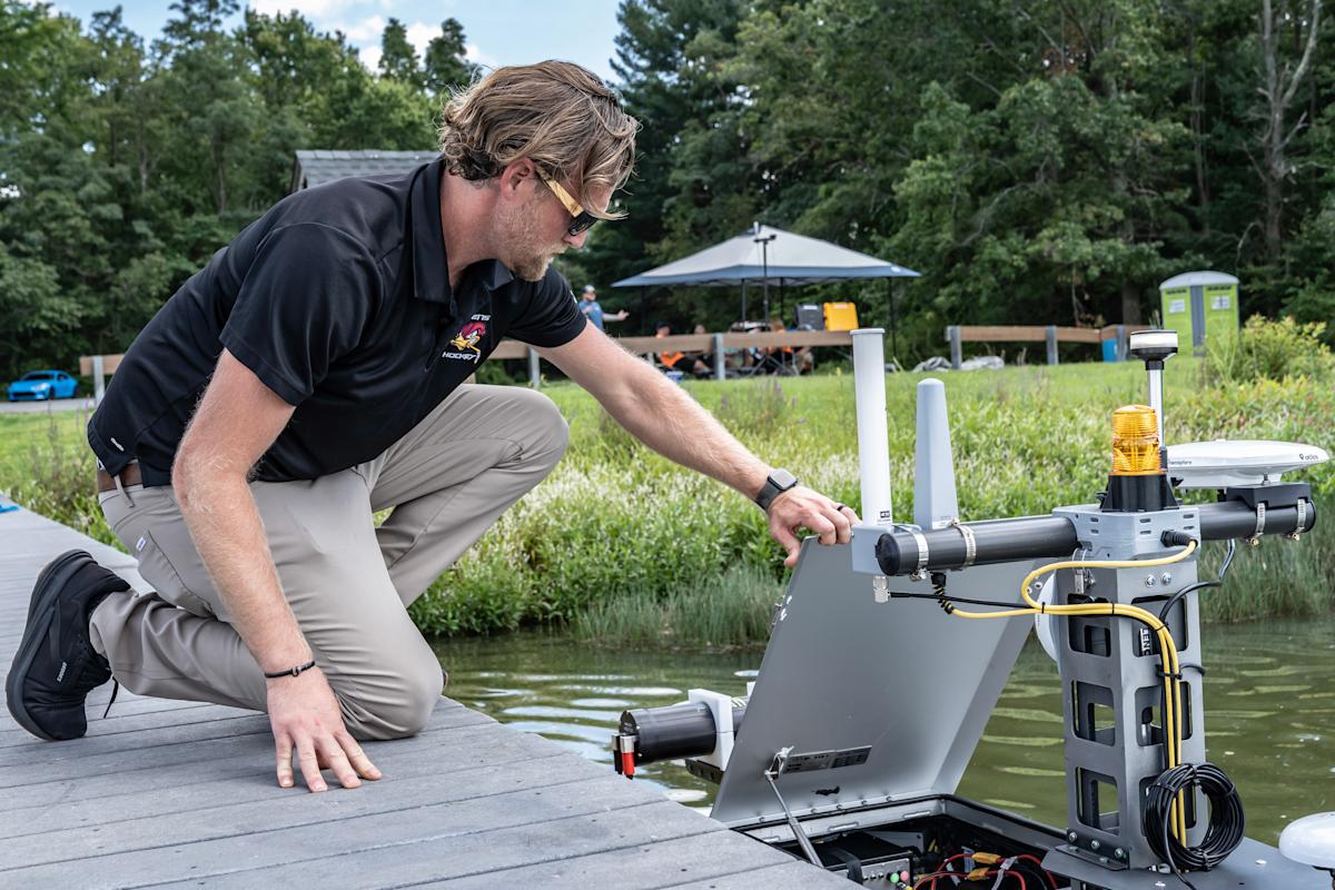
Specifically, it’s an advanced observational system that looks above and below the waterline to rapidly collect high-resolution data before, during and after the storms.
“Pre-storm data collection allows us to identify and alert local and state decision-makers about vulnerabilities such as dune barriers that are insufficient to prevent significant erosion and potential inundation during storm events,” said Jon Miller, Research Professor in the Department of Civil, Environmental and Ocean Engineering. “Post-event, the data allows us to assess the impacts and evaluate our forecasts of things like coastal flooding and beach erosion. It complements Stevens’ existing flood and CoastSea erosion forecasting systems.”
SEECPRS is housed within the Davidson Laboratory, one of Stevens’ oldest research facilities and a leader in coastal engineering for decades.
Mapping the full picture in 3D
In the air, SEECPRS operates an unmanned Harris Aerial H6 drone equipped with light detection and ranging (LiDAR) and a high-resolution Sony camera. The LiDAR measures elevation to create highly accurate 3D maps of beaches, dunes and other coastal terrain, while the camera captures crisp imagery for visual inspection, infrastructure assessment and documentation of flooding and storm damage. Because the drone complies with the National Defense Authorization Act, it can also operate in sensitive areas where other platforms may be restricted.
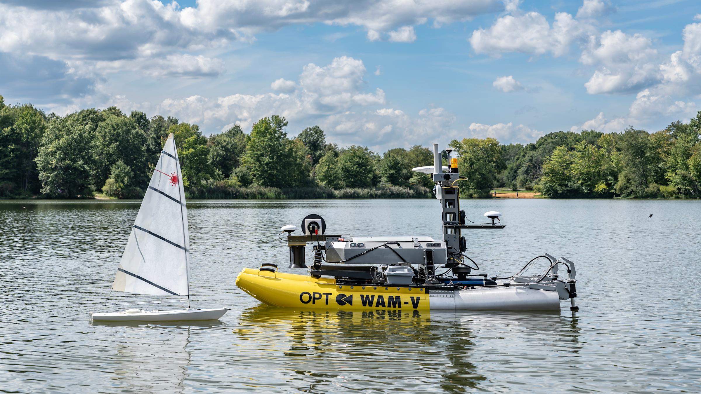
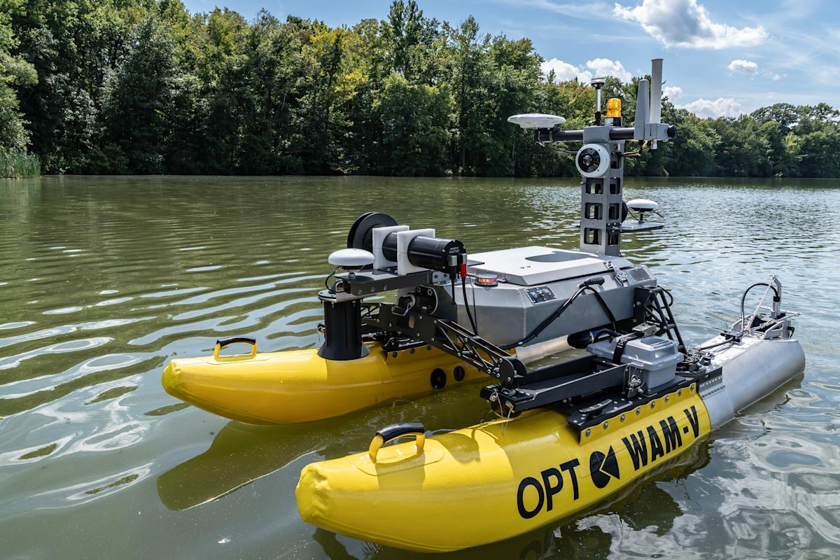
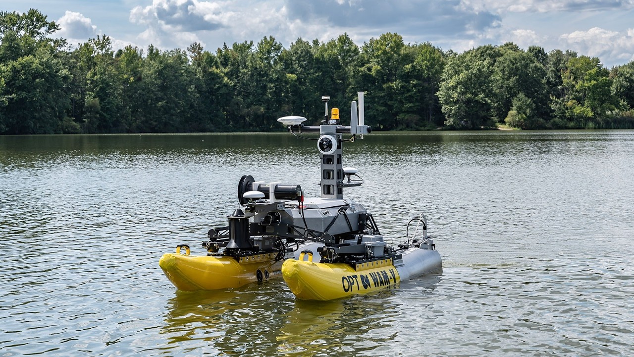
On the water, a WAM-V 8 autonomous surface vessel equipped with side-scan sonar maps the seafloor and submerged objects, helping researchers identify erosion, debris and damage. It was purchased through a company that’s part of the GoBlue Center, a renewable energy initiative co-founded by Stevens.
“By combining drones, uncrewed vessels, advanced imaging, sonar and flood sensors, SEECPRS will provide a comprehensive picture of storm impacts that no single instrument could deliver,” said Davidson Laboratory Director Muhammad Hajj, who also serves as Civil, Environmental and Ocean Engineering department Chair. “Beyond individual storms, the data collected through SEECPRS will improve forecasting models, inform resilient design standards and strengthen New Jersey’s long-term preparation for climate-related issues.”
The next wave of real-world coastal protection
Stevens has a long history of supporting real-world coastal protection efforts throughout New Jersey. This fall, as the peak of hurricane season approaches, it will continue that tradition with the deployment of SEECPRS on three new projects across the state.
New Jersey Department of Environmental Protection Coastal Protection Technical Assistance Service beach monitoring. Miller will work with Matthew Janssen, research assistant professor, Department of Civil, Environmental and Ocean Engineering, and several master’s and Ph.D. students to survey and assess beaches before, during and after major storm events.
New Jersey Department of Transportation sediment management study. Using the drone and the WAM-V, Janssen will lead a student team collecting data at Brigantine Inlet near Atlantic City. This data will be used to calibrate and validate a numerical model assessing engineering alternatives to reduce sediment accumulation and the related frequency of dredging.
National Park Service marsh loss study. The SEECPRS team will use the drone and boat to collect data at Horseshoe Cove in Sandy Hook, helping researchers determine the causes of continued marsh degradation and identify an appropriate modeling approach for reducing marsh loss.
The SEECPRS team is also working with the New Jersey Department of Environmental Protection Fish and Wildlife, the U.S. Army Corps of Engineers and U.S. Fish and Wildlife Service to identify beach nourishment solutions that protect communities while providing habitat for threatened and endangered shorebirds.
“Although the focus of SEECPRS is on emergency response,” Miller noted, “we see many other strategic uses for this technology.”
Advancing tech that strengthens communities, economies and ecosystems
Stevens is uniquely situated in the coastal space to collect field data, run physical models and simulate the environment using numerical models. SEECPRS strengthens those capabilities with new tools to drive models that can help inform real-world coastal protection and improve residents’ quality of life.
“Ultimately the research generated through the data collected with SEECPRS has the opportunity to significantly improve the lives of people living, working and recreating along the coast,” Miller said. “That feeds back into the economy, creating an immense return on investment.”
The new ocean engineering undergraduate degree program at Stevens will also give students opportunities to work with SEECPRS, integrating real-world data collection and analysis into the classroom and preparing the next generation of researchers and engineers to address coastal challenges.
Learn more about academic programs and research in the Department of Civil, Environmental and Ocean Engineering: