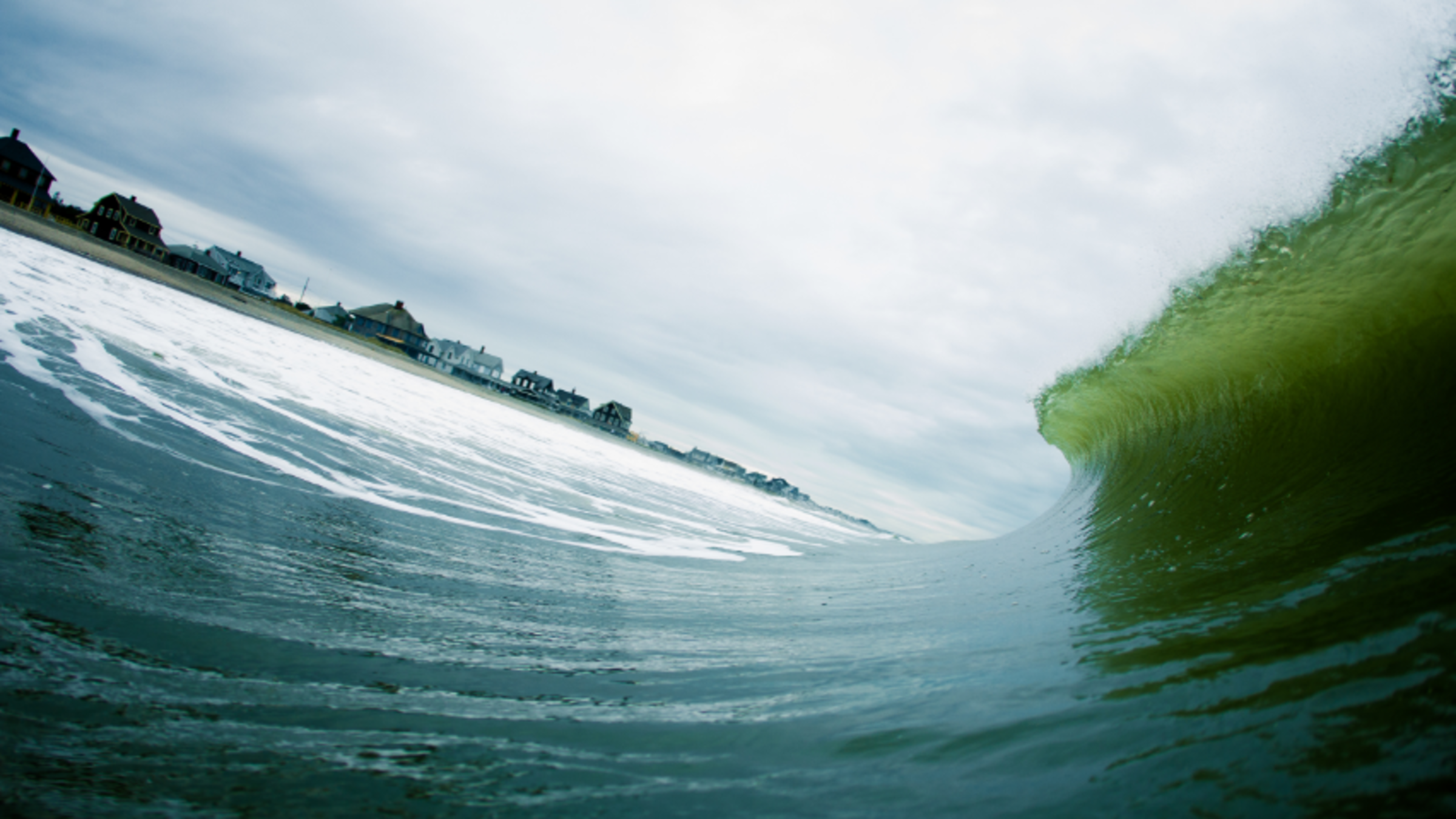
Storm Surge Barriers in a Changing Climate: How They Can Work, How They Can Fail
Philip Orton’s ocean and storm models prepare New York and New Jersey for more severe floods in our modern day
When Hurricane Sandy battered the New York City metro area in 2012, nearly two dozen people died on Staten Island’s eastern coast. About half died in the neighborhood of Midland Beach, despite the area having some protection in place: a nine-foot-tall waterfront berm topped by a roadway that had been built in 1957 to keep the water out.
But as a Stevens team of researchers led by Philip Orton, a research associate professor in the Department of Civil, Environmental, and Ocean Engineering at Stevens, showed this year, the berm did the opposite: it kept the water in. As the 12-foot storm surge hit land, it overtopped the berm and poured into the neighborhood, where the water level rose so quickly, some residents didn’t have time to escape.

This insight came from a 2020 study, led by Orton’s Ph.D. student Fanglin Zhang, that used a hydrodynamic model to demonstrate that the presence of the berm made the water rise 50% faster than it otherwise would have. Berms are an increasingly common strategy to protect coastal communities from storm surges exacerbated by climate change and rising sea levels. And they’re generally effective against lower-intensity storms—unless they’re overtopped, as happened at Midland Beach. “If there's a chance of overtopping, then it can be a more dangerous place to be than if there was no berm whatsoever,” Orton said.
It’s the complexities of coastal hazards that Orton, a physical oceanographer, aims to better understand by studying the physics of the ocean—waves, tides, storms surges, water circulation related to water quality, oxygenation, and pollution—and how to adapt to and minimize risk from the ocean’s enormous power.
Orton spent years doing field work, but computational models have been his specialty for the past decade. “Models are a convenient way to advance our understanding of the ocean because it’s so hard to measure it—all of it—in detail,” he said.
These models are used to both analyze past ocean-related events and anticipate future ones. They’re integral to Stevens’ Davidson Laboratory’s innovative storm surge forecast and flood advisory system, which constantly monitors conditions in coastal waters and tidal waterways from Connecticut to Delaware using data from dozens of monitor buoys. “We can look at future decades and risks and hazards, but we can also look at the next four days based on weather forecasts,” Orton said. “Weather forecasts are good for a week or even two weeks, but when it comes to storm surges, they’re best [for forecasting] the next four-to-seven days.”
Orton and other Davidson Laboratory researchers routinely advise the Port Authority of New York and New Jersey, one of many prominent funders of the forecasting systems, about the potential risks to all their facilities—airports, subways, tunnels, and the port. “For example, during the recent tropical storm Isaias in early August,” he explained, “they were concerned both about the forecast heavy rains and high storm surge. With our forecasts, they can make better decisions on how to manage their facilities under these dual threats of flooding.”
In another recent research project, Orton teamed up with conservation ecologist Eric Sanderson, creator of the Manahatta Project, to create a hydrodynamic model of Jamaica Bay as it was in the 1870s, based on detailed historical mapping. Today this Atlantic coastal area straddling Brooklyn and Queens is home to the JFK Airport and hundreds of thousands of residents, many of whom lost their homes and businesses to storm surge and flooding from Hurricane Sandy. But in the 19th century, it was a broad sheath of unpopulated wetlands. The question for the researchers was whether the wetlands mitigated extreme water levels during storms better than the modern-day landscape does.
“We found that it definitely did,” he said. “In the 1870s, Jamaica Bay had a large flood plain instead of these neighborhoods, so the water could spread out more and didn't rise as high. The landscape damped out the tide offshore, and the storm surge got reduced in the bay. The modern-day landscape actually amplifies the tide. So it's a more dangerous landscape.”
The results can be seen online at AdaptMap, an online flood mapping tool that lets users explore his model results showing how coastal flooding around Jamaica Bay will change with sea-level rise and coastal adaptation.
This approach inspired a broader-ranging project of Orton’s that models how estuaries are affected by geomorphic changes—such as building houses on drained wetlands—and climate change, such as rising sea levels. Funded by a $1.2 million grant from the National Science Foundation’s Prediction of and Resilience to Extreme Events (PREEVENTS) program, the project involves four universities modeling estuaries in Boston, Jacksonville, Wilmington, Delaware, and other locations.
“We are doing the same kind of modeling—historical estuaries versus modern-day estuaries—to understand if they were better for reducing coastal flooding or not,” he said. So far, “I think more often than not, dredging and landfill are causing extreme water levels during storms to be higher, but we're learning more about how that varies with different estuaries.”
Closer to home, another of Orton’s Ph.D. students, Ziyu Chen, just published the first of two papers on the potential effects of constructing a massive storm surge barrier at the mouth of the Hudson River Estuary. Funded by the National Oceanic and Atmospheric Administration (NOAA) and The New York State Energy Research and Development Authority (NYSERDA), the project looks at how the gates in these barriers can be closed during a storm surge to protect the region’s highly valuable and vulnerable coastal infrastructure and millions of residents. Yet, the paper also highlights the parameters under which they could be closed too frequently and change the Hudson River estuary for the worse in the long-run, a clearly-quantified warning against possible future negatives of this form of flood adaptation. Not only can Orton and his team’s research inform us about present problems created by projects from past centuries, it can better inform us of potential future problems we may wish to avoid.
With two months of an active, record-breaking hurricane season still ahead and several feet of sea level rise projected for this century, Stevens coastal flood forecasts and research are more timely than ever.
Civil, Environmental, and Ocean Engineering Dept
Learn more about research in the Department of Civil, Environmental and Ocean Engineering →